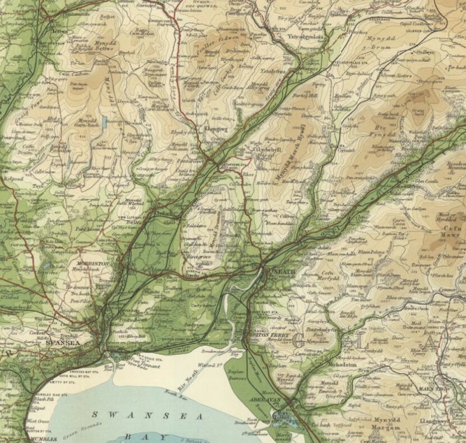
We can clearly see the major Swansea and Neath valleys running from the north east and terminating through their respective towns into Swansea Bay in the south west. Between them is the Dulais valley, with, at its head, “Capel Coelbren” at the north eastern corner of the map. The mountainous nature of the terrain at the valley heads is clearly discernable, as are the poorer communication routes away from the main valleys. To the northeast lie the Brecon Beacons, and to the northwest the gentler borders of Breconshire and Carmarthenshire.
Bartholomew’s “Half inch” Map of 1902-1906
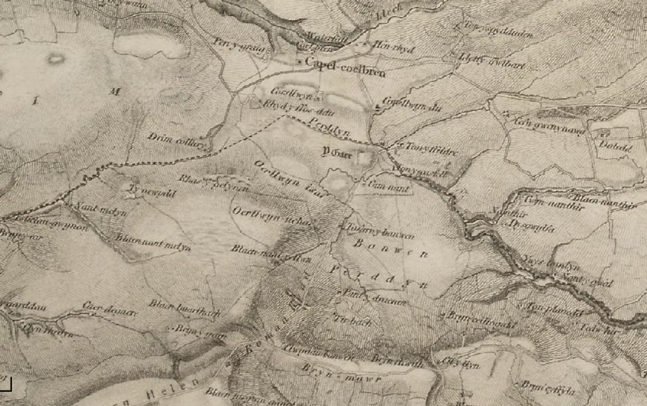
Ordnance Survey, first series, 1805-1869.
“Capel Coelbren” is literally that - just a church, a chapel of ease for the mother church at Ystradgynlais. There are no defined villages, just a collection of farms - e.g. Tir Bach to the south centre. The“Drim Colliery” is noted, around which the village of Onllwyn would develop later, probably the first organised colliery in the area, dating form the early 1820s.
Other long-established farm names we can see such as Penygraig, Pantyddreinen, Camnant, Tonyfildre, Tonycastell, Dysgwlfa, Henrhyd and Corsllwyn - would all figure as locations for our families in the next two hundred years.
This map illustrates how lacking this area was in terms of any form of urban or even village infrastructure. “Long before the coal industry was developed, it was but a small hamlet of farms hugging the banks of the streams and the rivers.” Evans, C (1964) For our present purpose, we are concerned with the collection of settlements shown to the right centre of the map.
Whether or not they regarded it as such, the Roman road, visible on the map running approximately southwest to northeast, seems to act as a rough line of demarcation for our families.
Another division was created by the Banwen bog, then as now, between settlements from those farms along the Nant Hir to the north, from those to the south, straddling Hirfynydd mountain.
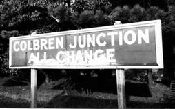
Today’s defining features are the village settlements of Banwen, Onllwyn and Coelbren but these are all new, none dating from before the mid nineteenth century. Onllwyn was the first to develop as a village from the mid 1840s, then Coelbren from the 1870s and finally Banwen & Dyffryn Cellwen (these are contiguous) from the 1900s. Bisecting this small part of the landscape is today’s Intervalley road, running roughly northwest to southeast, but that dates only from 1928. While some of the original farms appear remote now, they were in fact quite logically situated around the small Nant Hir river, the original defining feature, used even by the micro industry of the short-lived Banwen ironworks, and the earlier Roman fort no doubt also benefited from that water supply. Today’s economic and communications focus has shifted to the road, the river’s role is now less important and the farms are thus eclipsed.
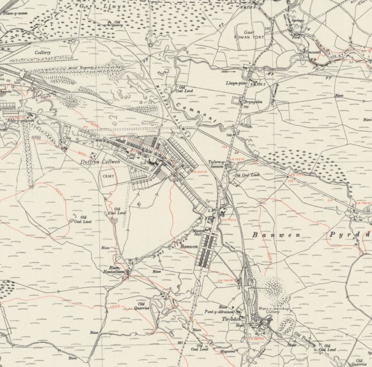
Banwen 1953 Ordnance Survey
This is the last map found where our original Jones settlement of Tir Bach is identified. The 1964 and subsequent editions omit it. Note how much of the landscape has been filled in since the Banwen prospectus map of 1846. Major additions are the terraces making up Roman Road (built directly on the path of the ancient roadway known as Sarn Helen), the newly created village of Dyffryn Cellwen and the mass of workings and railway lines serving Maesmarchog colliery at the bottom right. All these works have now been totally cleared.
Courtesy of University of Edinburgh